
Upper Allen Neighbors by Parcel
The closest official view of Upper Allen Township neighbors is geographic. Cumberland Property Mapper finds a parcel from a street address or PIN, displays the selected parcel in a left-side assessment panel, and gives the map context needed to identify the properties immediately beside it. The County does not document an owner-name search, a radius tool, a full online owner mailing record, or a household roster. Each nearby parcel needs its own assessment and Recorder research.
| Source | What It Shows About a Block | Access |
|---|---|---|
| Property Mapper | Parcel boundaries, map placement, imagery, and selected-parcel assessment context. | Free address or PIN map view; not a household list. |
| Recorder and LANDEX | A separate transfer chain for each adjacent parcel. | Party and legal-property evidence, not current occupancy. |
| Property Assessment | Official assessed-property record for a defined parcel. | Office inspection and correction route; a mailing fact is not residency. |
| Planning Review Map | Nearby plan, subdivision, land-development, or date-filtered activity. | Address, plan, and date map, not resident information. |
| Elections and formal Street List | Registered-voter data by street under formal rules. | Restricted request and use route, with no internet publication. |
| Township permits and RTKL | Existing public applications, permits, plans, or decisions for an address. | Applicant or agent may not be an occupant. |
| CCHS and County Archives | Older tax, census, or directory leads when holdings exist. | Historical and incomplete, requiring parcel and same-person checks. |
Ownership, a deed party, a tax mailing addressee, a registered voter, and a household occupant are distinct categories. A parcel map can establish a boundary. It cannot establish every person who lives beyond it. That distinction protects accuracy when the goal is to understand the immediate block rather than build a broad list of names.
Map Upper Allen Neighbor Parcels
Property Mapper provides the safe starting sequence. Locate the focal address, select the parcel, then zoom, pan, and click the parcel boundaries that actually touch or sit immediately around it. The County describes those map controls and says the selected-parcel view can be printed with assessment data. Do not infer a shared boundary from a common street name, fence, or Mechanicsburg postal label. No documented buffer or radius feature should be substituted for parcel review.
- Enter the reference address or PIN in Property Mapper and select the focal parcel.
- Record its PIN, municipality, map position, and the legal or assessment clues available in the selected view.
- Pan or zoom to each adjacent parcel, click it, and save that parcel's PIN separately.
- Use Property Assessment for the official defined-parcel record or an ownership correction question.
- Run the Recorder and LANDEX sequence again for each PIN. Never copy one parcel's transfer result to the whole block.
For a whole named street, use the fuller address chain in the Upper Allen Township street directory. The narrower parcel method keeps a neighbor search tied to the immediate block and makes the limits of the evidence clear.
Upper Allen Neighbor Records, Parcel by Parcel
After recording a nearby PIN, use it as a link key rather than an identity claim. The assessment office maintains the public real-property roll and handles factual ownership corrections. The Recorder's LANDEX access can then be used to inspect that parcel's deed trail by party, date, instrument reference, and legal description. Deeds reach 1750, mortgages 1973, and miscellaneous documents 1956 according to the County, but old land records can be indexed by tract or party rather than a present road number.
- Focal parcel
- The specific property used as the starting point for a block-level map review.
- Adjacent parcel
- A separate mapped property beside the focal parcel, identified by its own PIN.
- Situs address
- The physical location of land or a structure. It differs from a tax mailing address.
- Legal description
- The recorded land description that helps distinguish a parcel when street labels are new or ambiguous.
County online directions warn that web sources omit some important information, including owner mailing data. Ask the custodian for the maintained record when a specific permitted purpose requires it. A mailing address can be a post-office box, business address, trustee, or another contact point. It should never be presented as proof that an owner is a current neighbor.
Upper Allen Block Plans and Permits
A block can change without a new household appearing in a public index. The County Planning Review Map Series is the right research lane for a plan name, street address, municipal area, or date-filtered review record. It can explain a subdivision, lot layout, or nearby development activity. Confirm a final legal plan through the Recorder or Township. The plan is context for land use, not a list of people.
Upper Allen's BS&A permit portal accepts property searches by address, parcel ID, or name for current permit work, and issued permits can be requested through the portal. The historic online search range has not been confirmed. Request existing permit applications, issued permits, inspections, and final decisions by address, PIN, and date range from Community Development, or use the Township RTKL policy for an existing public record. Ask narrowly because a permit applicant, contractor, owner, or agent may not be the person who lives at the property.
Note: Compare permit-issued dates, deed dates, plan-review dates, and imagery years as separate events instead of treating one date as the block's complete history.
Upper Allen Neighborhood Geography, Not Membership
Upper Allen's official precinct map is useful for geographic orientation. It identifies precincts A through I and labels Daybreak Church, Bowmansdale Church of God, Shepherdstown United Methodist, St. Peter Lutheran, Country & Town Baptist, Messiah Village, the Township building, and Immanuel Alliance Church. A polling place tells where a precinct's voters are assigned. It does not establish church attendance, neighborhood-association membership, household residence, or a private contact list.
| Local anchor | Appropriate contact route | What it does not establish |
|---|---|---|
| Upper Allen precinct map | County precinct material | Who lives in the precinct or who belongs to a congregation. |
| Private HOA or civic group | Ask the organization directly for permission. | An official township roster or public resident directory. |
| House of worship | Use only contact information the organization chooses to publish. | Membership based on a poll location or address. |
| Messiah Village or another community anchor | Use its own public contact policy. | A list of nearby households or neighbors. |
No Township-maintained umbrella neighborhood-association directory or official member roster was located. That absence matters. Community groups may keep private lists, but respectful direct permission is the only sound way to ask about participation.
Upper Allen Neighbors and Voter Lists
Pennsylvania separates personal voter-status access from formal list access. The state status tool is for a person's own registration, not browsing a block. Cumberland's Bureau of Elections permits staff-supervised inspection of voter-registration records at the county office. A formal electronic request may seek a Street List or Walking List for Cumberland, but the official form sets a $20 fee, identification and signed-use requirements, and an explicit prohibition on internet publication. Registered voters are not everyone in a household, and a registration record is dated evidence rather than a guarantee of current occupancy.
The Pennsylvania voter-list request form identifies the legal list types and restrictions. Follow its permitted-use terms, protect the data, and do not recirculate it. Voter history records participation, not a person's choices. Protected participants may use a substitute address through Pennsylvania's Address Confidentiality Program, so a missing or altered address can be a safety measure rather than an error.
Neighbor Tools: Official and Commercial
Official category searches can be useful for a narrow question, yet none is a neighbor list or a reverse home-address search. A licensed professional, business filing, or unclaimed-property result does not establish that a person owns or occupies an Upper Allen parcel. Commercial neighbor tools can mix stale records, unrelated people, and incomplete address feeds. The parcel, assessment, and Recorder sequence remains the better evidence for a particular land record.
| Category | What the official source accepts | Neighbor limitation |
|---|---|---|
| Property records | Address or PIN, then parcel-specific records | Shows land facts, not all occupants. |
| Professional licensing | License and status-related searches | Not a list of local households. |
| Business filings | Entity name or entity/file number | Not a person, officer, or home-address reverse search. |
| Unclaimed property | Name search | Not a contact or residence verification tool. |
Pennsylvania Licensing System verifies credential status and related public board information, but it is not evidence that a licensed person is one of your neighbors.
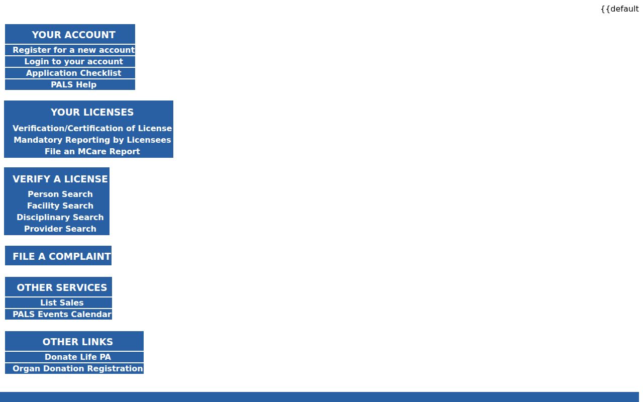
Use PALS only to check the credential category it reports, then keep it separate from parcel and household research.
Pennsylvania business record searches explain that business records use entity information and cannot be searched by officer, owner, or address.
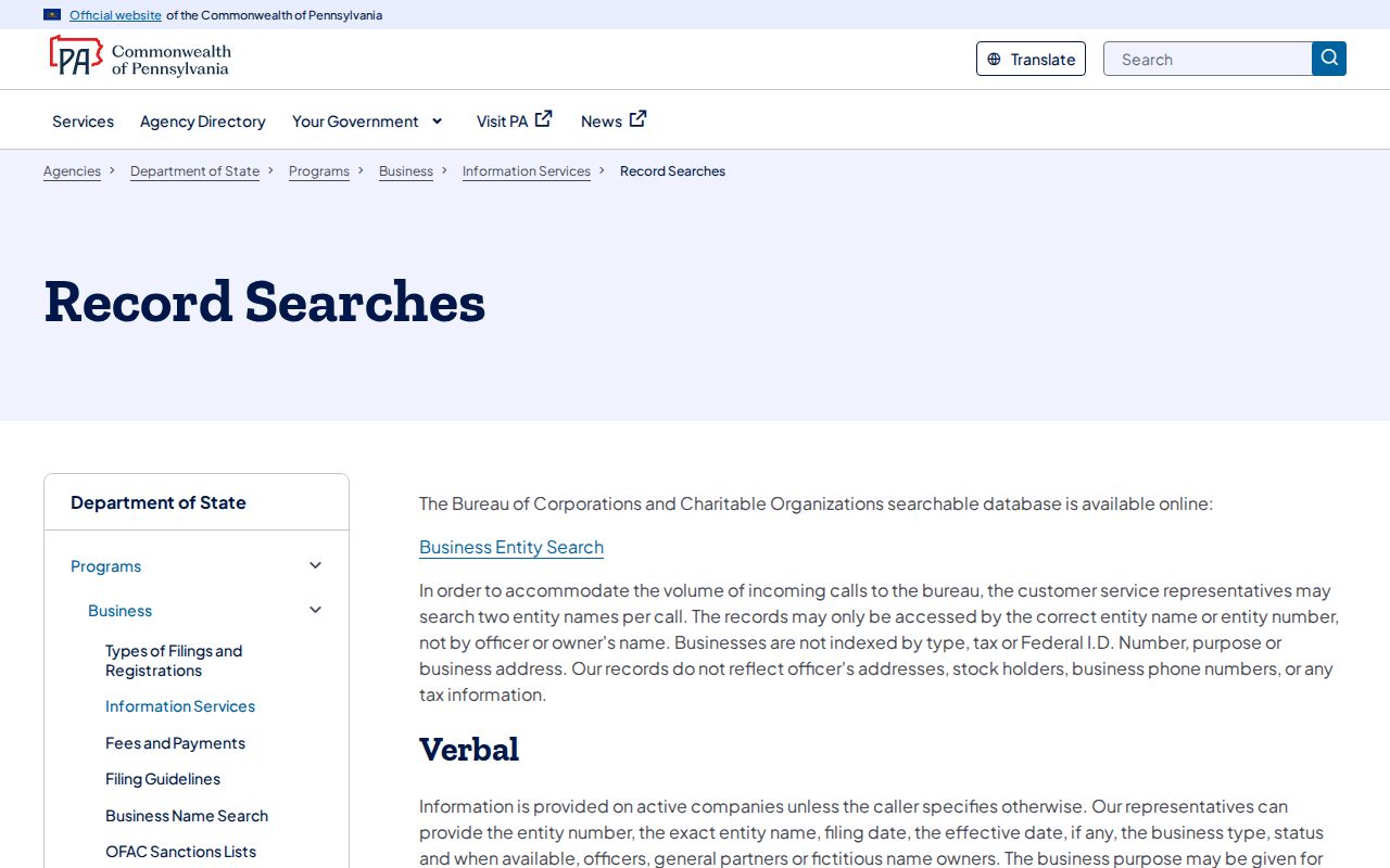
A business filing may provide corporate history, but it is not a way to reverse a home address into a list of neighbors.
PA Business Hub help describes search by business name or entity/file number and the resulting filing-history tools.
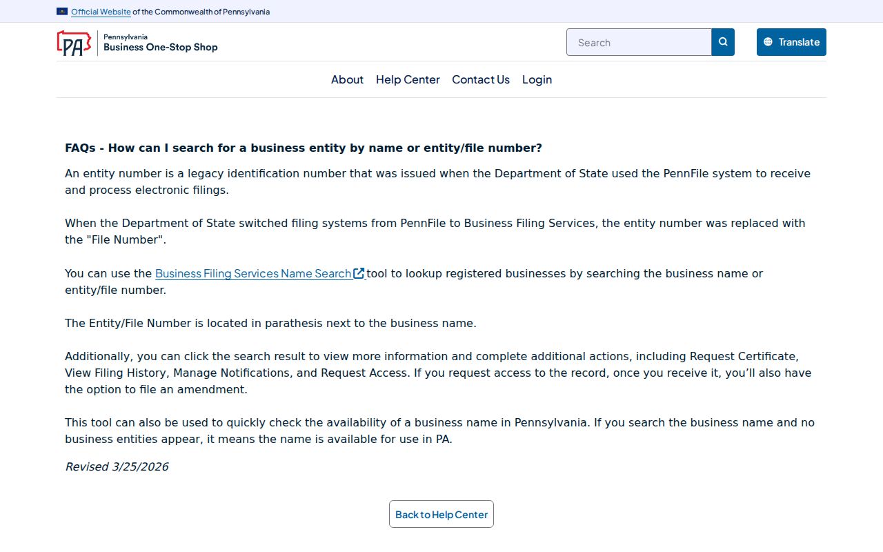
Its scope remains an entity record, even when a result opens filing history or certificate options.
PA Treasury unclaimed property provides a name-search entry point and warns that the Treasury does not reach out by unsolicited text.
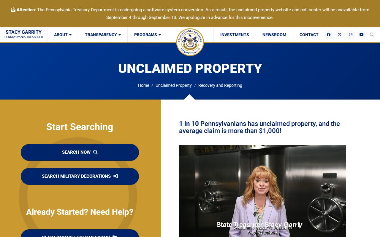
Do not use an unclaimed-property lead to contact a neighbor or infer a current address.
Privacy Limits for Upper Allen Neighbors
Renters, family members, utility customers, delivery recipients, and other household details are private. Driver information is restricted by the federal DPPA. The Pennsylvania Address Confidentiality Program can supply a substitute address in voter, court, government, vehicle, school, marriage-license, and utility records for eligible participants. A gap, mismatch, or lack of a name in a public system may be a lawful privacy protection, not a reason to look elsewhere for the person.
Pennsylvania Megan's Law serves public protection only. Its data may be incomplete, inaccurate, or outdated, and it is not comprehensive. Do not post, confront, intimidate, or harass anyone based on it or on any block-level record. Pennsylvania's harassment and stalking laws, 18 Pa.C.S. §§ 2709 and 2709.1, apply to conduct that threatens, repeatedly contacts, surveils, intimidates, or causes substantial emotional distress.