
Trace an Upper Allen Township Street Address
For a current Upper Allen Township street search, use the parcel as the handoff between systems. Cumberland County Property Mapper locates land from a street number and name or a parcel/PIN. Select the result, note the municipality, and record the parcel identifier before moving to another source. Assessment maintains the official record, while the Recorder maintains recorded land instruments. That division matters because a map point and a tax-correspondence address do not answer the same question. This by-address route is a record trail, not a list of everyone at an address.
- Enter the situs street number and street name in Cumberland Property Mapper. If the result is unclear, search again with the parcel/PIN.
- Click the parcel and write down its Upper Allen municipality, parcel ID, map location, and displayed assessment details. The print control can preserve the selected map context.
- Contact Cumberland Property Assessment when the maintained public record or a correction is needed.
- Use the recorded party name, conveyance clue, and legal description in LANDEX to find the deed trail.
- For a development question, check the Planning Review Map and Upper Allen permit route. For a historic person question, ask CCHS or the Archives about confirmed holdings.
Each step narrows a different fact. The map identifies a parcel. Assessment maintains tax and assessment information. A deed identifies a recorded transaction, and a permit may identify work or an applicant. Keep those facts separate before treating them as an Upper Allen Township by-address result.
Upper Allen Township Street Directory Map Screen
The County describes Property Mapper as a parcel locator, not a name or ZIP directory. Its confirmed search keys are a street number plus street name or a PIN. A selected parcel opens assessment data in a left-side panel. The available controls include Locate Me, zoom, parcel click, a print widget, and base imagery. County Map Services says 2024 imagery is the default and seven earlier imagery years are available. Those older images can show physical change, but they do not identify a household.
| Property Mapper field or control | How it is used | Upper Allen mapping limit |
|---|---|---|
| Search bar | Enter a street number and street name or a PIN/parcel number. | No owner-name or ZIP search mode is confirmed. |
| Parcel click | Open the selected parcel information in the left panel. | The panel is assessment context, not a household roster. |
| Locate Me | Place a mobile-device location as a blue dot. | It helps orient a map and does not verify a property line. |
| Print widget | Create a map with selected assessment data. | Record the date because displayed data can change. |
| Base imagery | Compare the current image with seven earlier County-noted years. | Imagery shows land conditions, not names or legal title. |
Cumberland Property Assessment explains the office that maintains the underlying assessment roll.
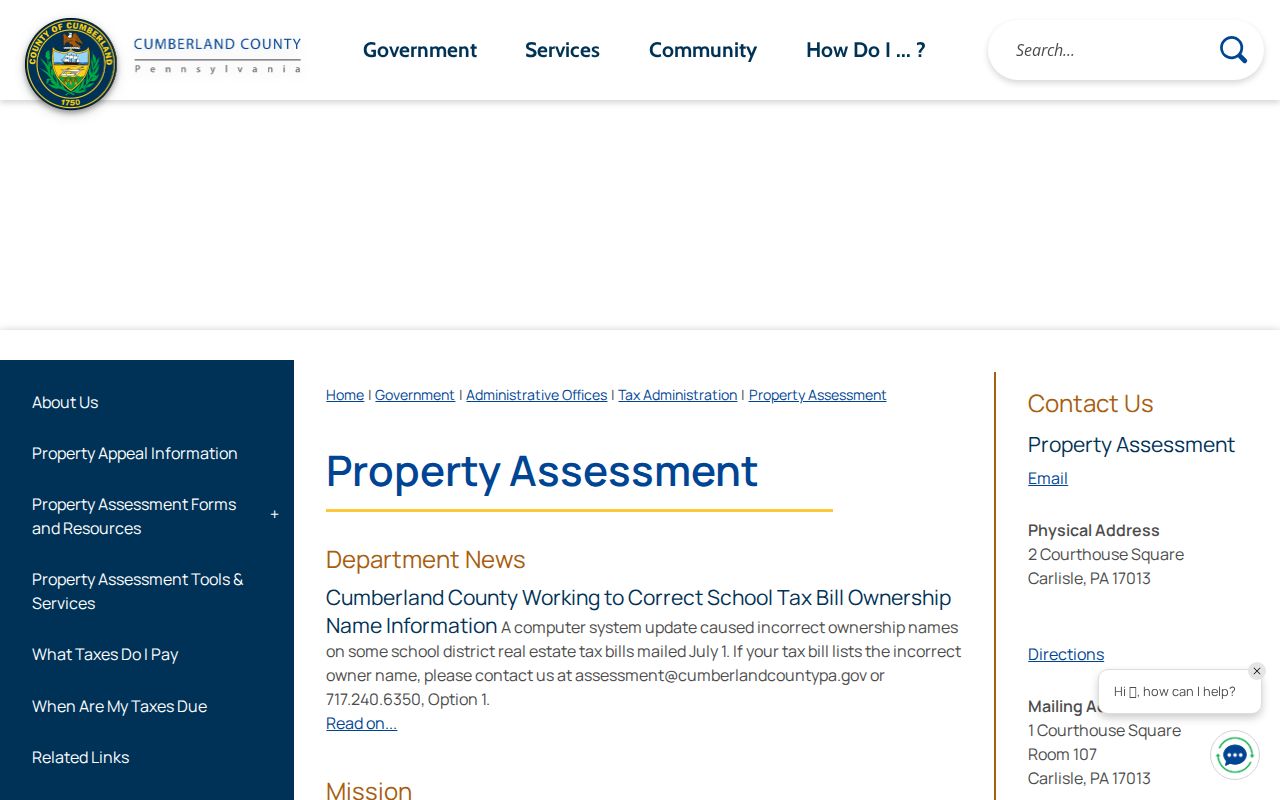
Use the web map for parcel selection, then use the Assessment Office for a current record question. County guidance cautions that online sources omit some important information, including owner mailing addresses.
Note: Property Mapper is strongest when it supplies a parcel/PIN that can be checked against the Assessment Office's maintained public record.
Upper Allen Township Street Records Coverage
Several Upper Allen Township street records can be connected by address or parcel, but they do not establish the same thing. The public assessment roll is an administrative property source. The recorder index is a legal-land source. Township permit material can document a project at an address. Planning records can supply subdivision or land-development context. The voter route is controlled and names registered voters, not every occupant. The table keeps the access path and limit beside each record type.
| Address-keyed record | Custodian | What it can show | Access and boundary |
|---|---|---|---|
| Parcel geometry and assessment panel | Cumberland Property Mapper | Address/PIN location, selected parcel, and County-described assessment data. | Free address/PIN map; it does not confirm a full mailing record. |
| Official assessment roll | Cumberland Property Assessment | Maintained assessment and parcel record, including correction route. | Public inspection at 1 Courthouse Square, Room 104; call 717-240-6350 for the current record. |
| Deed, mortgage, or miscellaneous index | Cumberland Recorder of Deeds | Parties, category, recording date, reference, and legal-property trail. | LANDEX is available around the clock; in-office online search is available 8:00 a.m. to 3:30 p.m. by appointment. |
| Permit or zoning material | Upper Allen Community Development | Address/parcel-linked permit activity or decision, when released. | Use BS&A or a narrow RTKL request; a public historic permit-search feature is not confirmed. |
| Planning review map | Cumberland Planning and GIS | Plan name, street-address search, date filters, lots, and development context. | Confirm final zoning and legal-title questions with the Township or Recorder. |
- Parcel or PIN
- A county identifier that links a mapped parcel to assessment and property research.
- Situs address
- The physical location of the parcel or structure entered in an Upper Allen Township street search.
- Mailing address
- The place where a tax or other notice is sent. It can differ from the situs and does not prove residence.
- Legal description
- The recorded lot, subdivision, tract, or boundary wording used to identify land in an instrument.
- Plat
- A recorded plan that may show lots, roads, and subdivision layout; confirm its legal status with the custodian.
Upper Allen Township Street Parcel ID Quirk
Upper Allen's BS&A instructions provide a helpful local connection: parcel IDs begin with the pattern 42-xx-xxxx-xxxx. The portal says that number may come from a tax statement, deed, or County Property Mapper. If a full address does not return a record, its instructions say to try the house number or street only. The same application route also permits first-and-last-name or last-name property selection. That is an application workflow, not evidence of a public historic permit index.
Upper Allen's BS&A permit application displays the address, parcel, and name options used to select a property record.
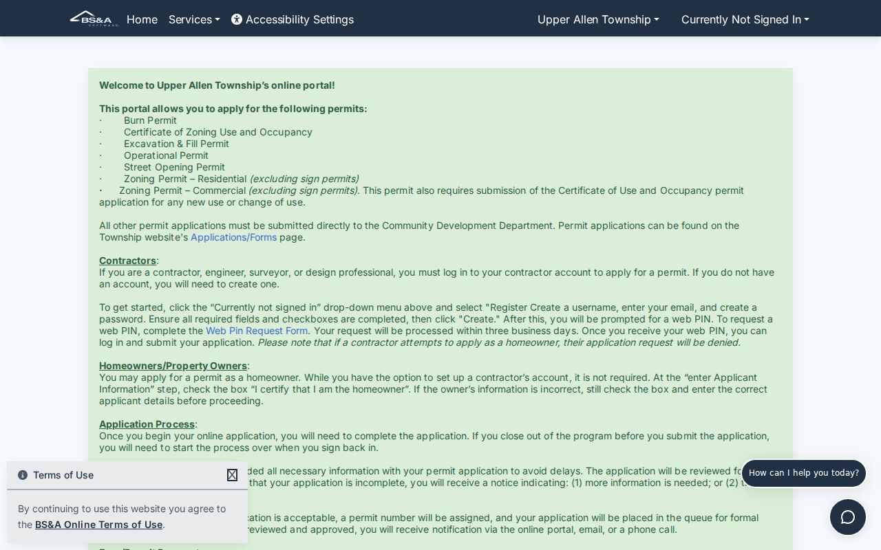
BS&A lists burn, use and occupancy, excavation and fill, operational, street-opening, and zoning permit types. Other applications go directly to Community Development. An applicant, contractor, agent, or owner named in a permit is connected to the work, not automatically to present residence.
For records that are not posted, request existing documents by a narrow address, parcel, and date range through Community Development or the Township's Right-to-Know process. Ask for identified permits, certificates, inspections, or final decisions rather than a newly created summary.
Upper Allen Township Street Deed Eras
The Recorder's coverage has three useful eras for an Upper Allen Township address search: deeds from 1750 forward, mortgages from 1973 forward, and miscellaneous recorded documents from 1956 forward. Those dates describe record groups, not a promise that every early instrument can be found by a modern street number. Older instruments may rely on a tract, township, grantor, grantee, book/page, or legal description. A parcel ID and deed reference are more durable clues than a postal label.
The Cumberland County Recorder of Deeds confirms those coverage ranges and directs researchers to LANDEX for online review.
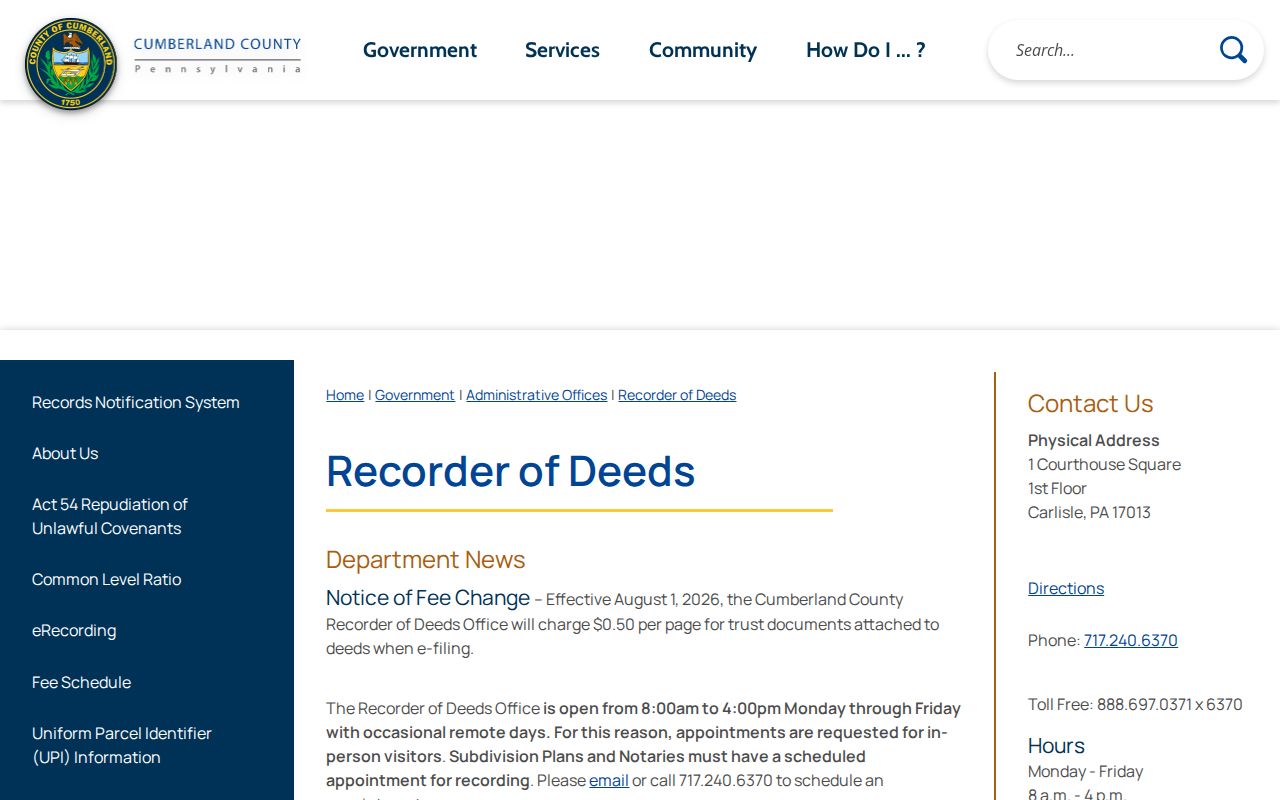
Start with the current grantee or other known party, then search the seller as an earlier grantee to locate a prior acquisition. Capture each party role, instrument type, recording date, book/page or instrument reference, and legal description. Match that legal description back to the selected parcel before declaring that two records concern the same Upper Allen Township street property.
When an online search stalls, use the Recorder's in-office online search during its stated 8:00 a.m. to 3:30 p.m. period and make an appointment for an in-person visit. The research did not confirm current image pricing, login terms, or a complete field list, so those details should be checked in the live service.
Upper Allen Township Street Plans and Permits
The County Planning Review Map Series adds development context that a parcel map does not supply. It can search by street address or plan name, filter plans by start and end date, and zoom to a municipality. That helps connect a street to a subdivision, lot layout, or land-development review. It is not the final legal source for title or zoning. County guidance says municipal zoning maps may not be the officially adopted maps, so confirm a zoning interpretation with Upper Allen Community Development.
Permits can date a change in use, excavation, fill, street access, or a zoning decision. They cannot establish an occupant list. For an old address, request records by address or PIN with a sensible date range. For a new subdivision, retain the plan name and review date alongside the parcel and deed description. Note: A planning map supplies helpful context, but the Township and Recorder remain the sources for final municipal and land-record confirmation.
Upper Allen Township Street Voter Route
Pennsylvania's public voter-record path has a strict split. The online voter-status tool is for a person's own status, with first name, last name, date of birth, and county. It is not a street browser. Cumberland's Bureau of Elections offers staff-supervised inspection of voter-registration records at 1601 Ritner Highway, Suite 201, Carlisle, and lists weekday hours of 8:00 a.m. to 4:30 p.m. That is the local fallback when a lawful, limited records question cannot be handled online.
The Department of State's formal Street List request is the relevant by-street option. It carries name, residential and mailing address, party, and active/inactive status fields, costs $20 electronically, requires identification and a signed affirmation, and prohibits Internet publication. It describes registered voters only. It is not a complete Upper Allen Township address list, and party or status should not be used to profile people.
The precinct map can help orient an address among precincts A through I and named polling locations. It maps election geography, not people or property boundaries. Consult the Cumberland Bureau of Elections for current access and election information.
Upper Allen Township Street Postal Labels
Mechanicsburg can appear in the mailing line for an Upper Allen Township parcel. That postal city is not the municipal jurisdiction. Search the exact delivery address with USPS, then use Property Mapper to confirm the parcel's municipality. This two-step check is useful when a street name, ZIP, or postal label resembles an adjoining area. Entering the address and recording the parcel avoids treating the postal line as a township boundary.
USPS ZIP Code Lookup verifies the delivery ZIP for a specific Upper Allen Township street address.
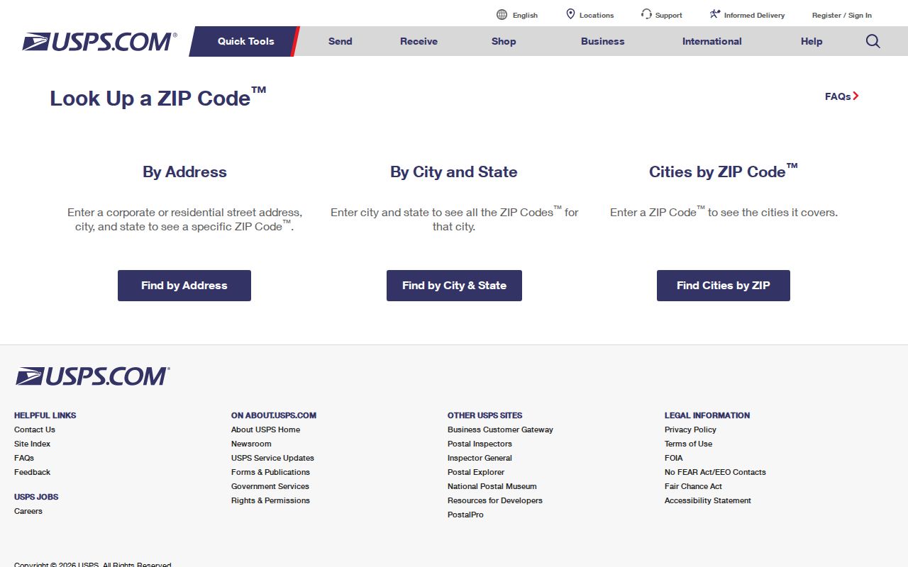
USPS answers the delivery question. The County parcel record answers the municipal and property question. Keeping both answers in the research notes prevents a by-address search from joining records only because they share a Mechanicsburg label.
Upper Allen Township Street History Fallbacks
Historic records often predate a modern street number or subdivision. County tax lists, deeds, estate files, census material, and locally held directories may use township, tract, owner, or road language instead. Cumberland County was created from Lancaster County in 1750, so a pre-1750 family or land lead may be filed in Lancaster records. For later Upper Allen research, a modern parcel and legal description provide the bridge back to earlier township organization.
Cumberland County Archives provides an appointment route for records not scanned and identifies township-organized tax books in its Local Listings system. The Cumberland County Historical Society can help identify relevant tax, will, newspaper, church, cemetery, or family materials. No authoritative year-by-year Upper Allen reverse-directory run was confirmed. Ask CCHS or the Archives about a specific title and year rather than treating a nearby directory as coverage for the Township. The historical collections are discussed in more depth in the Upper Allen Township city directory collections.
Note: Older township sources need a date, volume or title, and spelling check before they are connected to a present street address.
Upper Allen Township Street Directory Limits
An assessment owner, deed party, tax-mail addressee, permit applicant, registered voter, and current occupant are different categories. A recorded land transfer can be strong evidence about the parcel. It cannot name every person in a home. Online County property sources do not expose all mailing information, and a mailing address can be a post-office box, business, trustee, family contact, or another correspondence destination. Utility customer data and motor-vehicle personal information are not public street-directory fields.
Protected address programs can also make an absence meaningful rather than erroneous. Pennsylvania's Address Confidentiality Program allows eligible participants to use a substitute address in several government records. A missing or different address should be checked with the responsible office, not filled with a guess. Note: Treat every Upper Allen Township street record as a dated source for one limited fact, then confirm it with the custodian when accuracy matters.
Lawful personal use. Use Upper Allen Township street records for legitimate personal, family-history, property, or civic research. Do not use an address trail to stalk, harass, intimidate, or harm another person.