
Upper Allen Previous Residents by Era
An address trail starts with a time range, not a name. The Cumberland County Recorder of Deeds gives the strongest land-transfer route, while the Register of Wills, County Archives, CCHS, state vital records, and Township files add people or change-over-time context. None of these records is a single household list. A deed establishes a transfer of land, a tax book places a taxpayer in a township, and a census can identify a household only after the place and era have been matched.
| Source | Years It Covers | Where Held | What It Shows |
|---|---|---|---|
| Recorder deeds | 1750-present | LANDEX and Recorder | Transfers and legal land descriptions, not an early street-number index. |
| Mortgages and miscellaneous instruments | 1973-present; 1956-present | LANDEX and Recorder | Financing or other recorded categories that may explain a transfer. |
| Estates and Orphans' Court | 1750-present | Register of Wills and Clerk of Orphans' Court | Estate and heir context, subject to record restrictions. |
| County tax lists | 1750-1850; assessor duplicates 1783-1817 | County Archives and CCHS | Township taxpayer clues, not a precise modern parcel match. |
| County birth and death registers | 1894-1906 | Register of Wills and Clerk of Orphans' Court | Local people records that can support a family timeline. |
| State vital records and census | Birth/death after 1906; census public through 1950 | PA Archives, DVR, and repositories | Family clues and household composition, with statutory access limits. |
| Imagery, plans, and permits | Modern records | County GIS, Township, and RTKL route | Physical change or approval dates, not named occupants. |
Start with the Recorder for a conveyance question. For an early family question, tax books, estate records, and public-era vital material may be stronger leads. Exact Upper Allen town or reverse-directory runs have not been verified, so a catalog or archivist inquiry should precede any claim that an address appears in a particular volume. The Property Mapper has 2024 imagery and seven prior imagery years, which can date visible change but cannot name the people living there.
Upper Allen Deeds and Previous Residents
Use Cumberland Property Mapper to locate the current parcel by address or parcel number. Record the PIN, legal description, lot or subdivision clues, and the latest conveyance details before opening LANDEX. The Recorder says deeds are searchable from 1750 forward, mortgages from 1973, and miscellaneous documents from 1956. Those are three separate record eras, so a result from one category should not be described as a complete property history.
- Find the current parcel and note its PIN, municipality, legal description, and the current owner shown in the assessment context.
- Locate the most recent conveyance in the Recorder index. Record the recording date, instrument reference, current grantee, and grantor or seller.
- Search that seller as a grantee to find the earlier purchase. Compare the legal description, lot, parcel clues, and dates before accepting the match.
- Repeat the seller-as-earlier-grantee step, checking spelling variants, spouses, trusts, estates, or entities when the party name changes.
- When a chain breaks, take the legal description and references to the Recorder counter, probate records, mortgages or releases, rather than forcing a modern address into an older index.
- Grantor and grantee
- The grantor is the party transferring property. The grantee is the party receiving it.
- Chain of title
- A sequence of recorded transfers for the same land, tested by the legal description and record references.
- Legal description
- The recorded land identifier, such as a lot or tract description. It remains useful when a street number has changed or did not yet exist.
- Parcel or PIN
- A county property identifier that links the mapped parcel to assessment and record research.
The Recorder's web search is available around the clock, but an older instrument may need the office's online terminal. In-person searching is available from 8:00 a.m. to 3:30 p.m., and the office asks visitors to make an appointment. That counter route is especially useful when a tract description, rather than a house number, carries the chain.
Upper Allen Addresses Change with Land
Upper Allen Township changed from a largely agricultural area into a suburban community. That creates a practical comparison: a parcel's land history can reach far back, while the current road, subdivision lot, house, or street number may be much newer. Official sources did not document a township-wide street renumbering, a ZIP change, or a specific Upper Allen Sanborn-map run. The safe bridge is the PIN and legal description, not an assumed conversion from an old number to a new one.
Mechanicsburg is often the mailing identity for an Upper Allen parcel. A historic record may instead name a road, tract, township, grantor, or lot. Use the County Planning Review Map for a plan name, street address, or date-filtered development context, then confirm any final legal plan with the Recorder or Township. A planning record and aerial image can explain when a structure or subdivision appeared. They do not establish who lived there.
Upper Allen Previous Residents in Tax Books
For a pre-digital Upper Allen question, tax records provide a township-level route. The Cumberland County Archives directs researchers through Archives Local Listings: choose the Commissioners record group, select Tax Rate Books, use Holdings to identify a volume, and then select the camera image. Early books can be hard to read. Transcribe the township, tax year, volume, page, and the name exactly as written.
County tax lists cover 1750 to 1850, with assessor duplicate lists for 1783 to 1817. CCHS research materials cite tax research through 1930, but a taxpayer is not automatically the owner of the exact modern parcel or the person living in a specific house. County estates and Orphans' Court files can add heir or property-distribution context. The Register of Wills and Clerk of Orphans' Court has estates from 1750, online records from 1988 forward according to its office page, and older open records for office research.
There is one jurisdiction boundary worth recording. Cumberland County formed from Lancaster County in 1750. A family connected to the future Upper Allen area before that date may appear in Lancaster records, not in a Cumberland index. That change in county custody is often more useful than trying to match an eighteenth-century taxpayer to a present-day street number.
Upper Allen Previous Residents in Households
Owners are only part of an address story. Federal census schedules are public through 1950, but address detail varies. Pair a known directory year, tax clue, or deed date with the matching census period, then use the enumeration district, township label, family names, and nearby households to test the connection. Birth records become public 105 years after birth and death records 50 years after death; the 1894-1906 county birth and death registers are a separate local bridge. These records help place people in a family timeline, not prove a person occupied every address on a tract.
- Set a date window from the deed chain, a tax entry, or a plan record.
- Ask CCHS or the relevant catalog whether a town or reverse directory exists for that period. Do not assume a local run.
- Compare any address or surname lead with the closest public census year and its enumeration geography.
- Use obituary, marriage, cemetery, or probate clues to separate same-name households and identify an estate transition.
The historical collections themselves are described on the Upper Allen Township City Directory page. For a specific surname, the Cumberland County Historical Society research service can examine obituary and marriage cards, wills, tax material, church and cemetery records, estate inventories, and other sources. Its general research service accepts deed, property, tax, estate, vital, and newspaper-history questions at $25 per hour with a $12.50 minimum plus copy costs. It does not promise blanket property-history research or a complete address timeline.
Upper Allen Previous Residents at CCHS
The Cumberland County Historical Society is a practical in-person fallback when a parcel trail reaches an old surname, newspaper notice, church record, cemetery reference, or tax clue. Its Gardner/Hamilton Library holds manuscripts, family histories, business records, local newspapers, and local-history material. A Cumberland County Library System cardholder can borrow the CCHS/CCLS pass from a library branch for no-charge CCHS resource access, rather than assuming that every useful historical record is online.
That access route supports careful follow-up work. Record the source title, collection, date, and exact spelling, then compare the finding with the deed chain or tax-book geography. A surname match in an obituary card or cemetery record can lead to an estate or family connection, but it does not by itself put a person at a particular Upper Allen address.
Upper Allen Previous Residents and Change
Modern permit and plan records are better for dating change than listing past residents. Upper Allen's BS&A permit portal uses an address, parcel ID, or name route for current property work and says issued permits can be requested. Historic online coverage has not been confirmed. Ask Community Development for existing records by address, parcel, and date range, or use the Township's Pennsylvania Right-to-Know Law process for existing public permits, applications, inspection records, and final decisions. A permit applicant or owner may be an agent rather than a household member.
Aerial imagery, plans, and permits can bracket construction, demolition, street opening, or a subdivision phase. They are useful checks after the deed chain, not replacements for it. Note: Record the date and custodian for each item because a map view, a recorded deed, and a permit reflect different events.
Upper Allen Records with Narrow Scope
Some search screens are easy to mistake for an address-history source. They are not. Custody, registry, and federal court tools have narrow legal purposes and cannot recreate historic households at an Upper Allen address. Use them only for their stated public-safety or docket function, and treat an absent result as no answer about a person's past residence.
The Pennsylvania DOC locator covers current state custody or supervision, not county or federal custody and not a former-household trail.
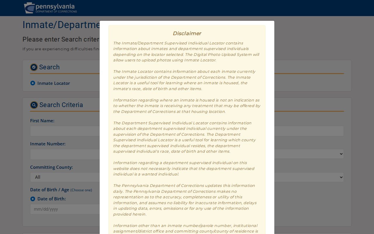
A state locator result does not connect a person to a historic parcel, and its daily-updated status should not be treated as a residential address.
Pennsylvania Megan's Law is a public-protection registry, not a list of present or previous residents.
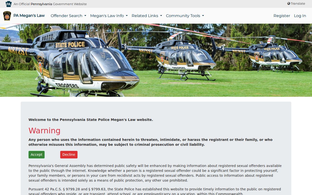
Registry information can be incomplete, inaccurate, or outdated, and it must never be used to threaten, intimidate, harass, or confront anyone.
The registry FAQ explains the same public-protection boundary and warns against misuse of posted information.
It cannot fill a gap left by an unverified directory, a private household record, or a missing deed connection.
The Federal Bureau of Prisons locator is a separate federal-custody service with no role in reconstructing local household history.
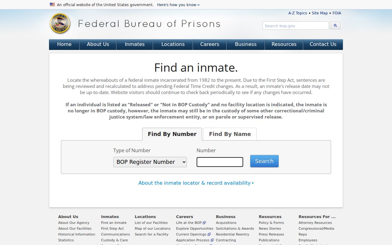
Federal custody status is not evidence of past ownership, tenancy, or occupancy at an Upper Allen address.
PACER is a federal court docket and document service, not a county land or household archive.
Use the Cumberland Recorder, County records offices, and historical repositories for an address trail, while respecting Pennsylvania harassment and stalking laws, including 18 Pa.C.S. §§ 2709 and 2709.1.