
Upper Allen Township ZIP Code Directory Coverage
Four postal identities have documented Upper Allen Township context: 17019, 17027, 17050, and 17055. They are conservative mailing-area references, not rigid lines on a township map. USPS decides the delivery ZIP for an exact address. Cumberland County Property Mapper is the separate check for municipality and parcel. The table preserves the local evidence behind each identity without claiming that a ZIP alone defines all of Upper Allen Township.
| ZIP | Areas Covered | Post Office | Notes |
|---|---|---|---|
| 17019 | Route 15 approach in western and southwestern Upper Allen Township. | Dillsburg postal identity | A PennDOT Route 15 notice places the Dillsburg corridor where the route crosses into Upper Allen; check the exact delivery address. |
| 17027 | Grantham, Messiah University, and Upper Allen wastewater-plant context. | Grantham postal identity | A Commonwealth notice identifies the plant at 400 Creekside Drive, Grantham 17027; it does not define the Township's full extent. |
| 17050 | Northern and northeastern Mechanicsburg-addressed overlap. | Mechanicsburg postal identity | An official court record uses Mechanicsburg 17050 for a 59 White Oak Boulevard Upper Allen address, demonstrating overlap rather than a boundary. |
| 17055 | Broad Mechanicsburg-addressed Upper Allen Township area, including the Township building's postal identity. | Mechanicsburg postal identity | It is not identical to Mechanicsburg borough or a township jurisdiction line. |
PennDOT's Route 15 notice supplies the official western-corridor context used for the 17019 row.
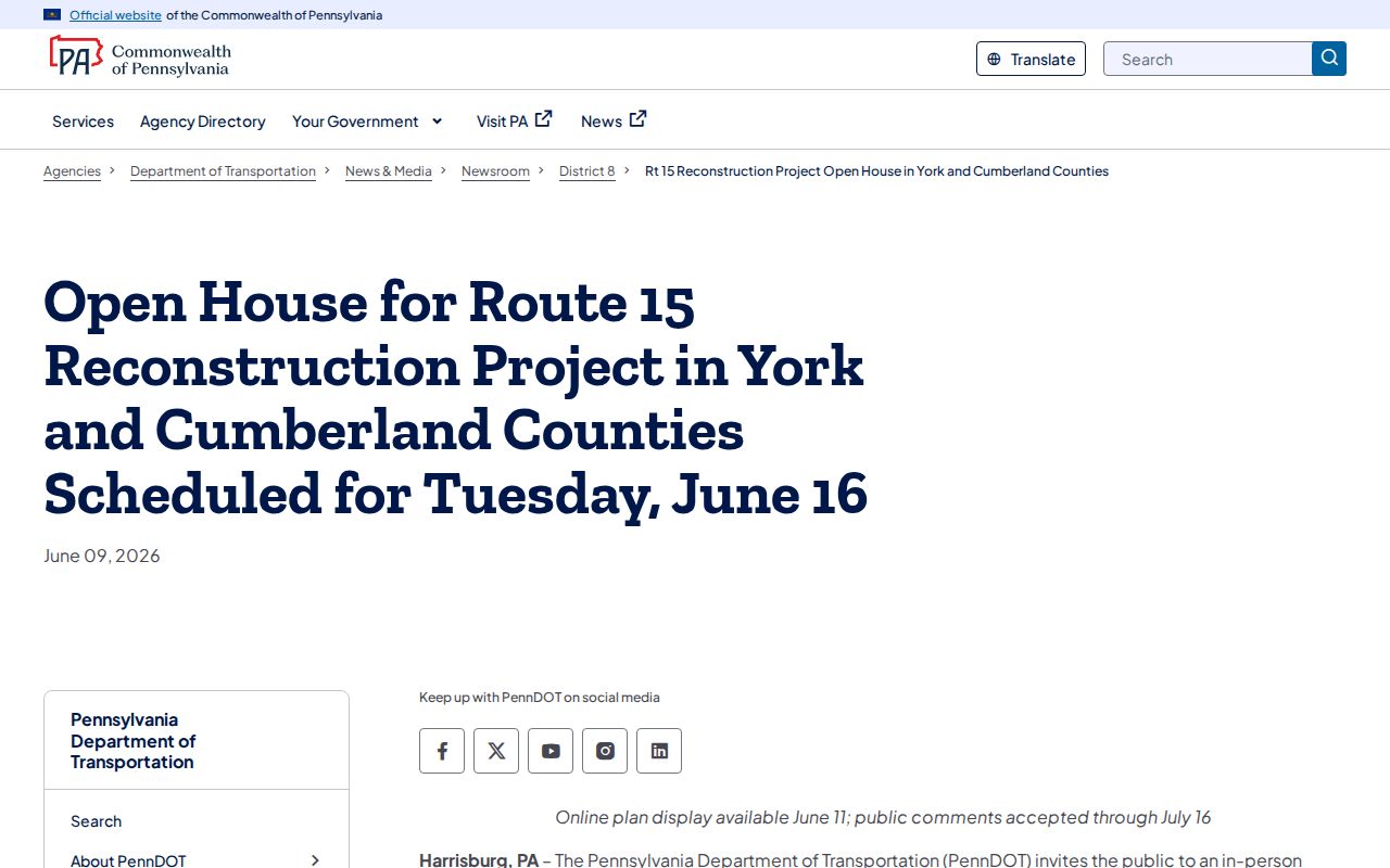
A transportation notice can establish corridor context, but it is not a ZIP map or a parcel finding. Delivery and municipal questions still require the two separate address checks.
Note: The listed postal identities are address-verification starting points, not published boundary lines for the Township.
Upper Allen Township ZIP Postal Identity
Upper Allen is a township with a strong Mechanicsburg mailing identity. That makes an easy but false shortcut tempting: treating the city shown in a mailing address as the local government. The County's official profile gives the Township building a Mechanicsburg 17055 address, while a documented Upper Allen address can also carry Mechanicsburg 17050. Grantham 17027 similarly supplies real local context. Postal names group delivery routes. They do not decide municipal jurisdiction, property taxation, school assignment, or election precinct.
Census QuickFacts for Upper Allen Township supplies the current township-level population context.
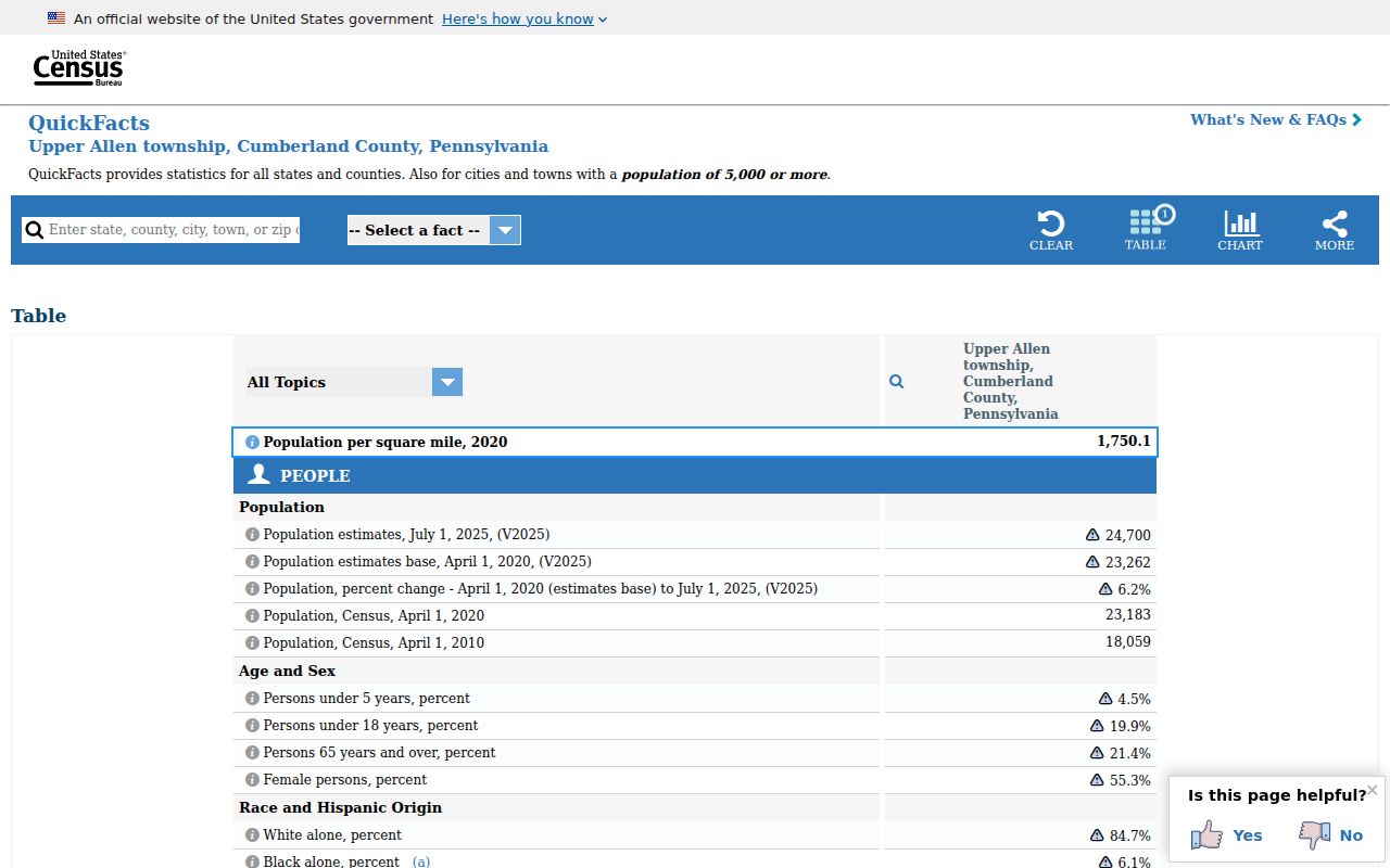
Township statistics describe the local government area, while ZIP codes describe mailing geography. They answer different questions and should not be merged into a single boundary claim.
Postal-city quirk. Mechanicsburg, Grantham, and Dillsburg labels can all be useful address clues for Upper Allen Township, but none is a substitute for an exact-address parcel check.
Verify Upper Allen Township ZIP Delivery
A defensible ZIP code result uses one check for mail delivery and another for government jurisdiction. USPS is the final source for delivery ZIP. Property Mapper establishes the parcel's municipal placement and supplies the parcel/PIN needed for subsequent assessment and deed research. This workflow also handles unit-number or formatting differences better than guessing from a postal city name.
- Enter the complete delivery address in USPS ZIP Code Lookup and retain the returned ZIP.
- Enter the house number and street in Cumberland Property Mapper. Use the PIN if the street result is ambiguous.
- Click the parcel, confirm that the municipality is Upper Allen Township, and record the parcel ID with the ZIP.
- Use the address or PIN with Assessment, the Recorder, or Upper Allen's permit route, depending on the precise record needed.
The returned ZIP supports a mailing-address search. It does not establish a deed party, owner, resident, or municipal boundary without the relevant custodian record.
Upper Allen Township ZIP Filter Gap
No confirmed local portal was found that filters Upper Allen property, permit, or parcel results by ZIP. That gap is important. Property Mapper is limited to address or PIN search. BS&A provides address, house-or-street, parcel ID, and name routes. Its instructions do not document a ZIP field. The UJS court form includes a Parcel ZIP Code criterion for cases, but that field is not a property search and cannot create a ZIP-wide local directory.
| Search field or method | Where it works | What it answers | ZIP search limitation |
|---|---|---|---|
| Street number and name | Cumberland Property Mapper | Locates a parcel and selected assessment panel. | There is no documented ZIP-wide filter. |
| PIN or parcel number | Property Mapper and related property trail | Stabilizes a parcel when an address format differs. | A PIN is a parcel key, not a ZIP search key. |
| Address, house/street, parcel ID, or name | Upper Allen BS&A application | Selects a property for permit application workflow. | No documented public ZIP filter or historic permit index. |
| Parcel ZIP Code | PA UJS Case Search | Narrows a court-case search when a case has that field. | It is not a municipal property or resident lookup. |
Use the absence of a local ZIP filter honestly. First verify one address, then use that address or parcel key in the appropriate official system. A bulk ZIP result should not be implied where no documented portal provides one.
Note: A ZIP field in a case-search form does not turn that court system into a local property or resident directory.
Upper Allen Township Parcel Key
For an Upper Allen address with a validated ZIP, the local handoff is the parcel ID. BS&A says Township parcel IDs begin 42-xx-xxxx-xxxx and can be found on a tax statement, deed, or County Property Mapper. That identifier remains useful when a postal city label, unit number, or street formatting creates a mismatch. It ties a postal address to a county parcel record without claiming that the ZIP itself is the property identifier.
- Situs address
- The physical parcel or structure location used to begin an address and ZIP verification.
- Mailing address
- The destination for tax or other correspondence, which can differ from the physical property location.
- Legal description
- The lot, subdivision, tract, or boundary wording that identifies property in a recorded instrument.
- Parcel or PIN
- The County linkage key that connects a map selection with assessment and recorded-property research.
The Upper Allen zoning-hearing court record documents a Mechanicsburg 17050 postal identity for an Upper Allen address.
That document demonstrates a postal and township overlap at one record, not the boundary of 17050. The address must still be checked in Property Mapper before it is used for township or parcel research.
The legal description on a deed adds another key. It may name a lot, subdivision, tract, or boundary without repeating a street number. Record it beside the situs address, ZIP, and parcel/PIN when tracing a property across systems.
Upper Allen Township ZIP Precinct Context
ZIP codes are not voter precincts. The Upper Allen precinct map labels precincts A through I and local polling-place anchors, including Daybreak Church, Bowmansdale Church of God, Shepherdstown United Methodist, St. Peter Lutheran, Country & Town Baptist, Messiah Village, the Upper Allen Municipal Building, and Immanuel Alliance Church. Those labels provide careful geographic orientation within the Township. They do not identify voters, establish a postal route, or define a parcel boundary.
The Pennsylvania voter-status tool is for a person's own record, not ZIP browsing. Cumberland's Election Office allows staff-supervised inspection of voter-registration records, while the formal Street List is a $20 electronic request with identification, an affirmation, and a ban on Internet publication. A ZIP cannot be substituted for those access rules or used as a way to build a public voter list.
Search Upper Allen Township ZIP Codes
There is no confirmed ZIP-wide resident or property portal for Upper Allen Township, so the responsible workflow narrows from a ZIP to an exact address and then to the appropriate record. It can establish the government records associated with one address. It cannot prove everyone who lives there. For street-level parcel, assessment, and deed work after the ZIP is verified, use the Upper Allen Township street directory.
- Begin with a known address and verify its delivery ZIP through USPS.
- Confirm the address in Property Mapper and record the municipality and parcel/PIN.
- Contact Assessment for a maintained public property-record question or correction.
- Search LANDEX with the recorded party, instrument date, book/page, or legal-description clue for recorded land documents.
- Use BS&A by address or parcel for current permit application routes, or make a narrow Township RTKL request for existing non-posted records.
The fallback chain is as important as the web route: Assessment for the maintained record, the Recorder's in-office online search when needed, Community Development for municipal files, and County Archives or CCHS for older material. Do not turn a ZIP label into an unsupported list of people.
Upper Allen Township Postal History
Older Upper Allen property and family records usually were not organized by the modern ZIP. The County's historic tax lists, deeds, estate files, and census materials may use Upper Allen Township, a tract, an owner, or an older road reference. Cumberland County was formed from Lancaster County in 1750, so a pre-1750 lead may lie in Lancaster records. A modern parcel/PIN, legal description, deed date, and township name are stronger bridges to the past than projecting a present ZIP backward.
Penn State's PA's Past Digital Bookshelf is one research entry point for historical Pennsylvania material.
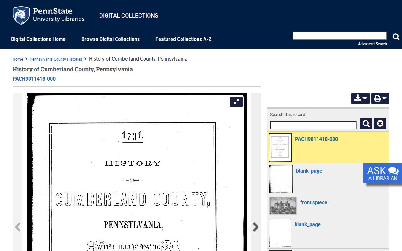
Historical publications can provide place or family context, but a title must be checked for its actual geography and date before it is linked to an Upper Allen address.
The Pennsylvania Archives digitized county-records guide leads to the official path for county microfilm and research-room work.
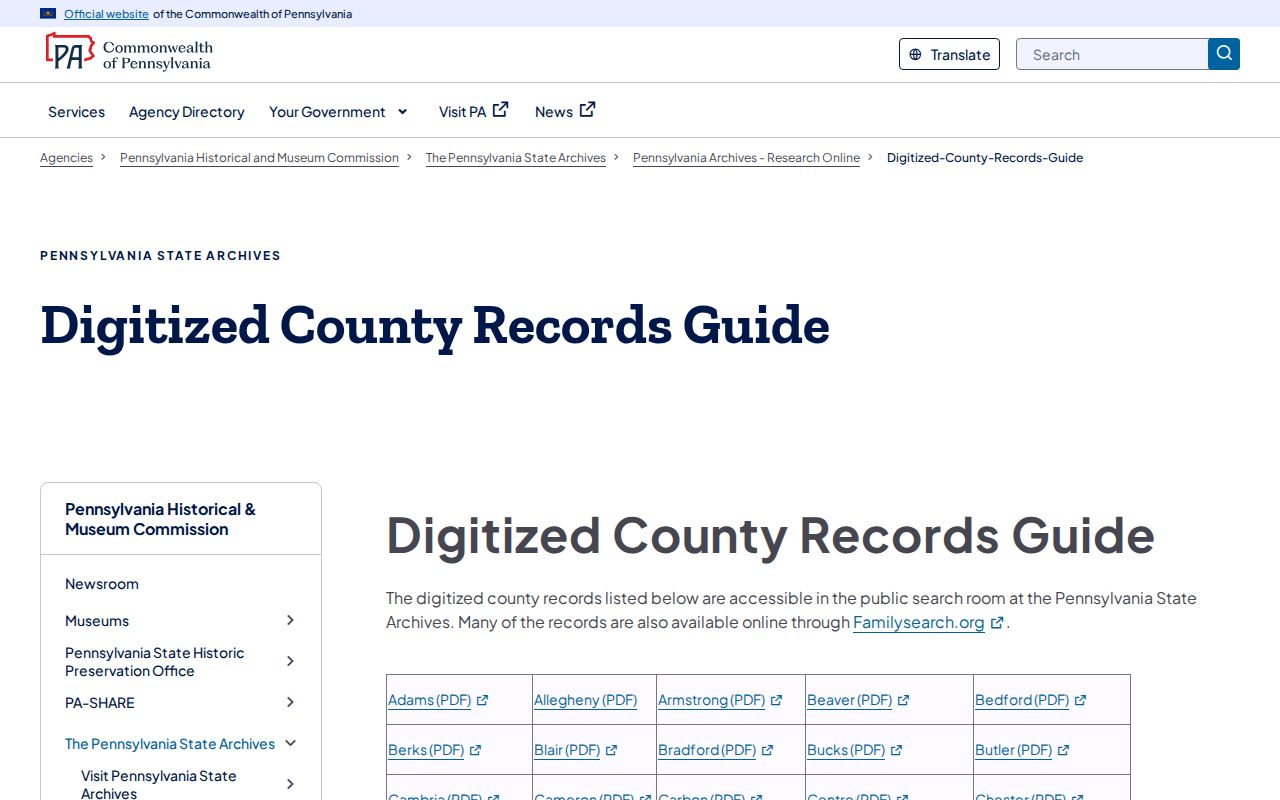
County Archives materials that are not scanned require an appointment. They are useful fallbacks for township-era tax and permanent records, not a source for retroactive ZIP boundaries.
Upper Allen Township ZIP Code Boundary Limits
A ZIP code is a postal delivery designation. It is not a municipal border, precinct, school boundary, tax district, or proof that a parcel belongs in Upper Allen Township. A Mechanicsburg, Grantham, or Dillsburg mailing line can occur near or across local-government boundaries. Use USPS for delivery, Property Mapper for municipality and parcel, and the specific agency's address tool for any school, utility, or election question. The research found no documented local ZIP realignment year, so none is used to explain those overlaps. The record's date still matters because addressing and development change over time.
- ZIP Code
- A postal routing designation for delivery service, not a local-government boundary.
- ZIP+4
- An added delivery-sequence detail attached to a ZIP Code for a more precise mailing address.
- PO-box ZIP
- A postal code used for post-office-box service that may differ from the street-delivery ZIP.
- Unique ZIP
- A code associated with a single organization or delivery arrangement; none was documented here for the entire Township.
- Carrier route
- A postal delivery grouping that helps mail handling but does not establish a parcel or government jurisdiction.
Protected-address programs and record-specific privacy rules can limit what an address search displays. Treat a missing result as a reason to use the proper custodian channel, not as permission to guess or publish personal details. Note: An Upper Allen Township ZIP code result supports a delivery question only until a parcel and its jurisdiction are separately confirmed.